moakley park
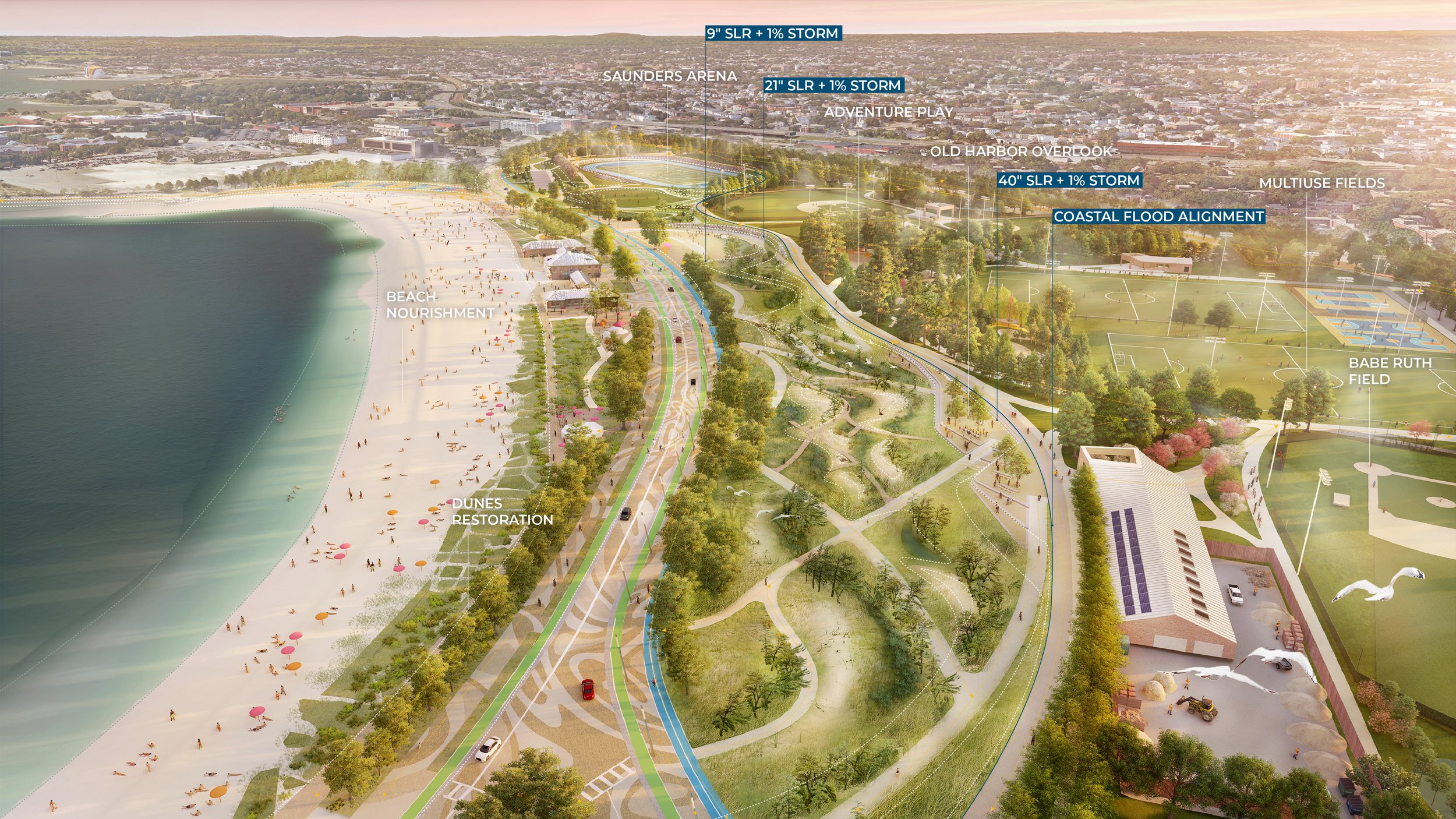

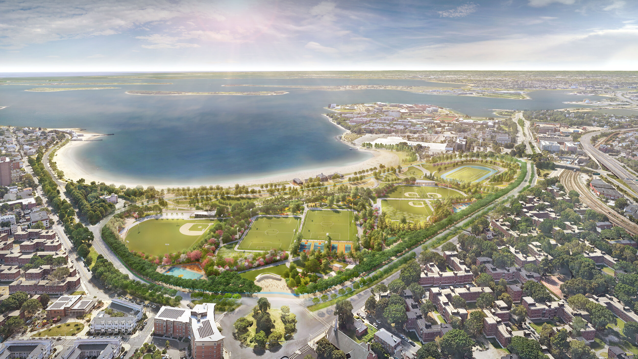
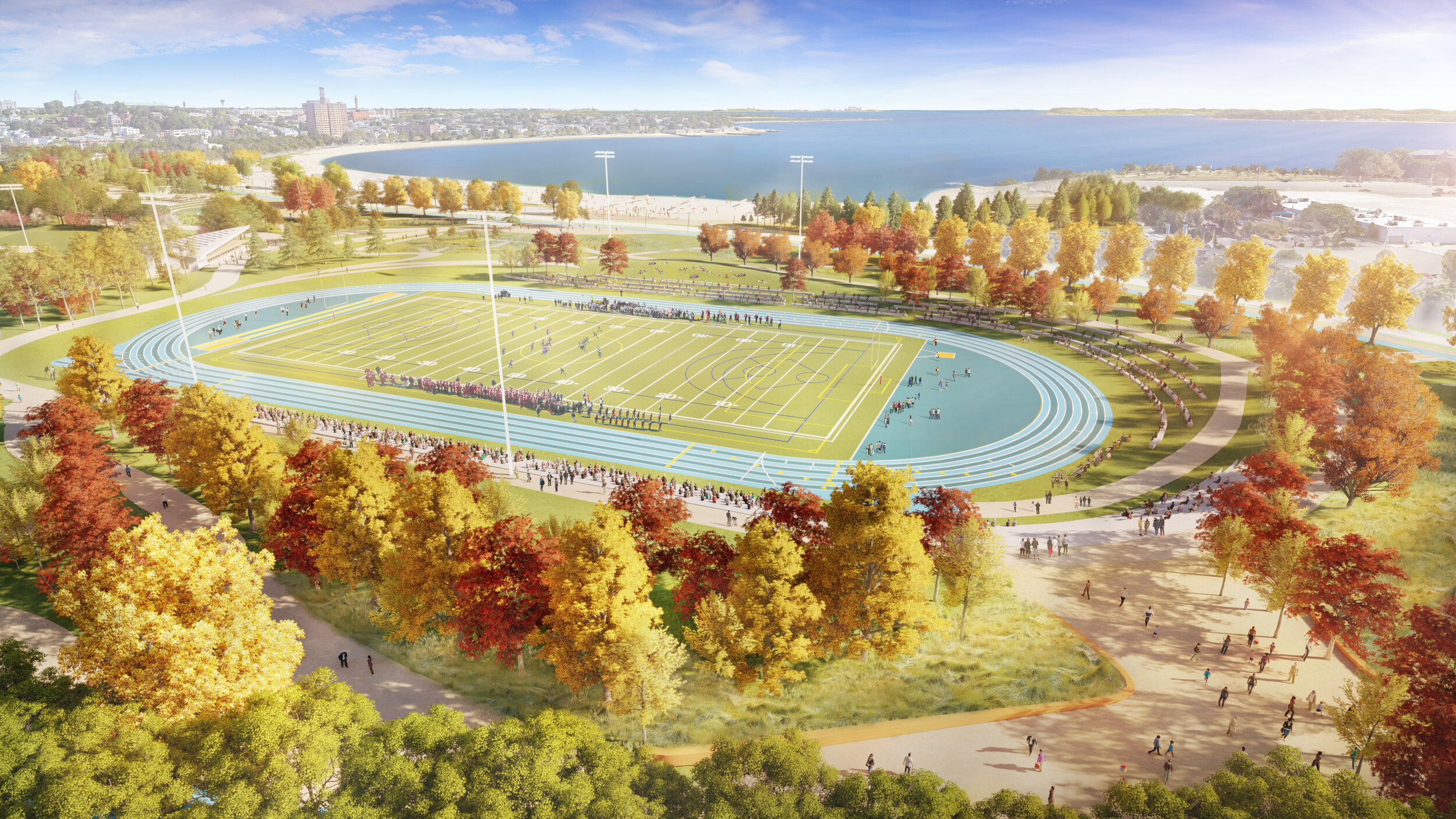
The Moakley Park Preliminary Resilience Plan transforms one of Boston’s largest waterfront open spaces from a largely single-use recreational facility into a resilient and multi-functional 21st century community park. Accessible by public transportation and within 15 minutes of a diverse set of neighborhoods, including South Boston, Chinatown, South End, Roxbury, and Dorchester, Moakley is poised to be an unprecedented park for these adjacent communities and for all of Boston, one that provides safe and equitable access to high quality waterfront open space, community resources, as well as athletics and events for all ages, abilities, and backgrounds. The plan also addresses the city’s most pressing climate justice issues, including stormwater management, urban heat island effect, and coastal flooding. The coastal flood protection is designed to protect the park and surrounding neighborhood from a predicted sea level rise of 21-40” in the next 50-60 years.
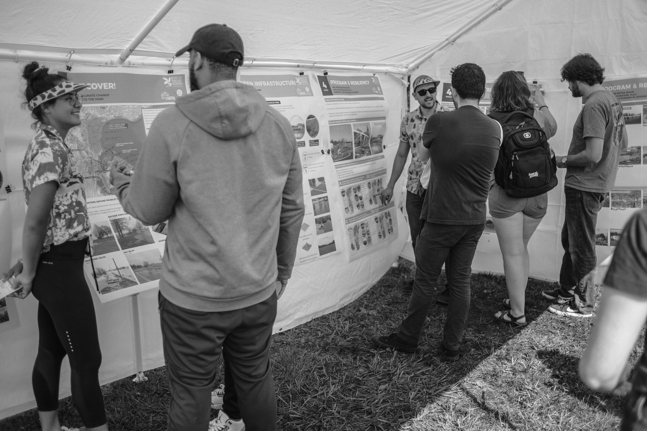
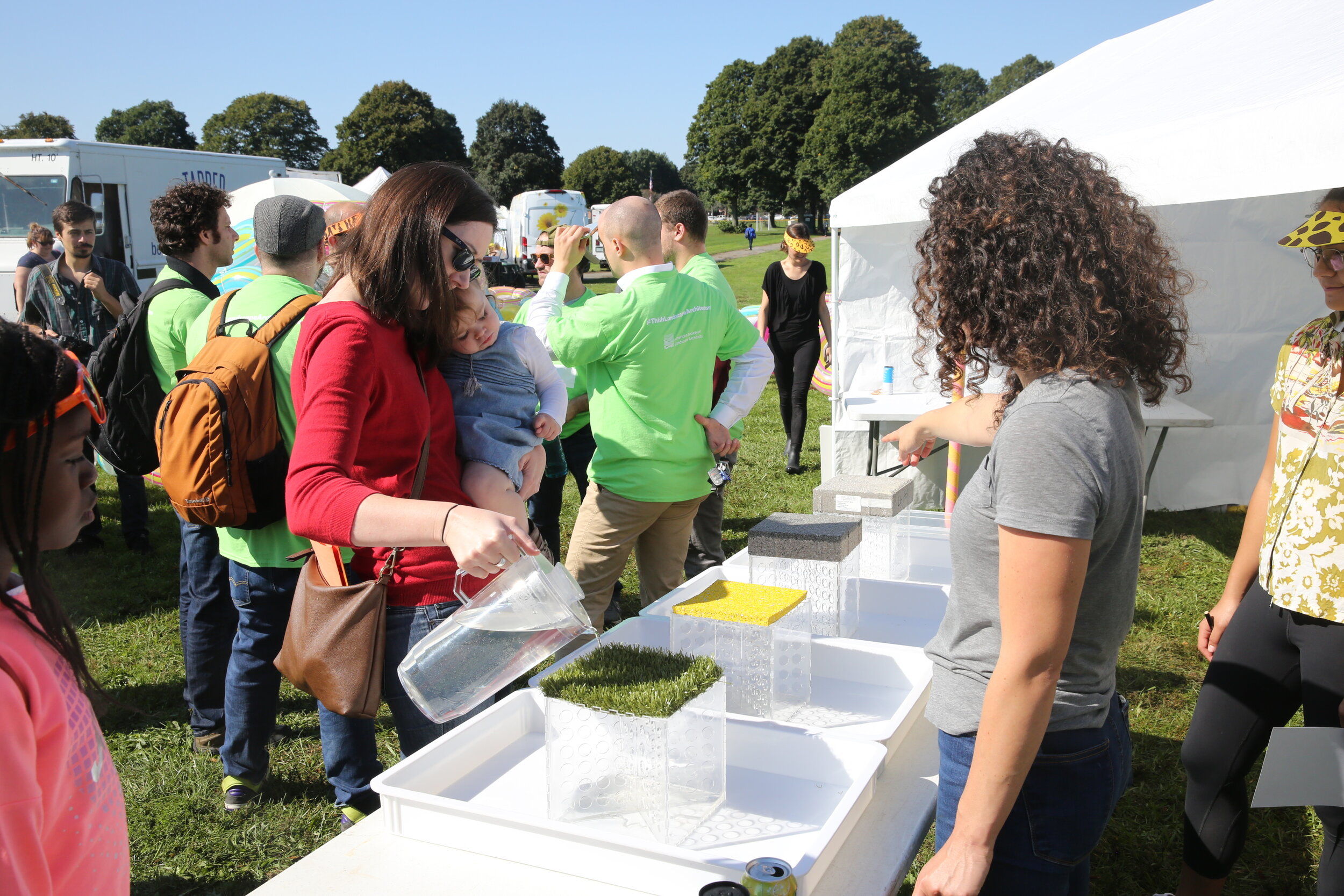
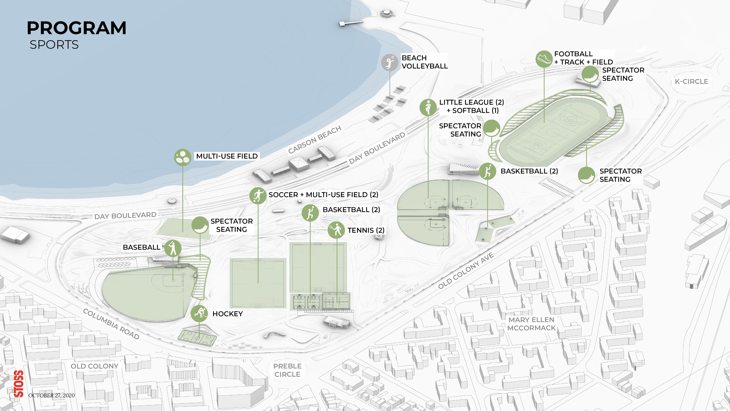
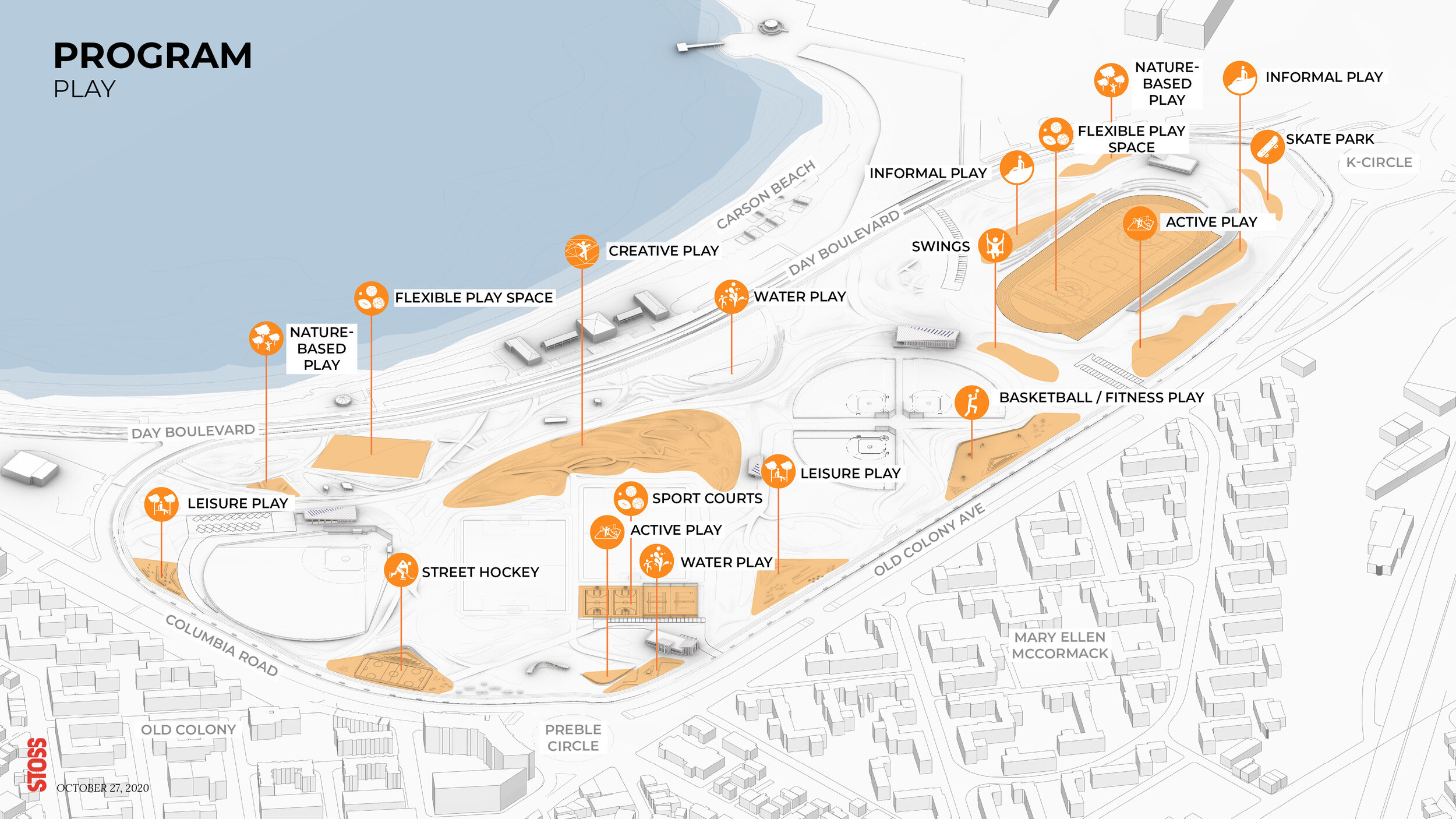
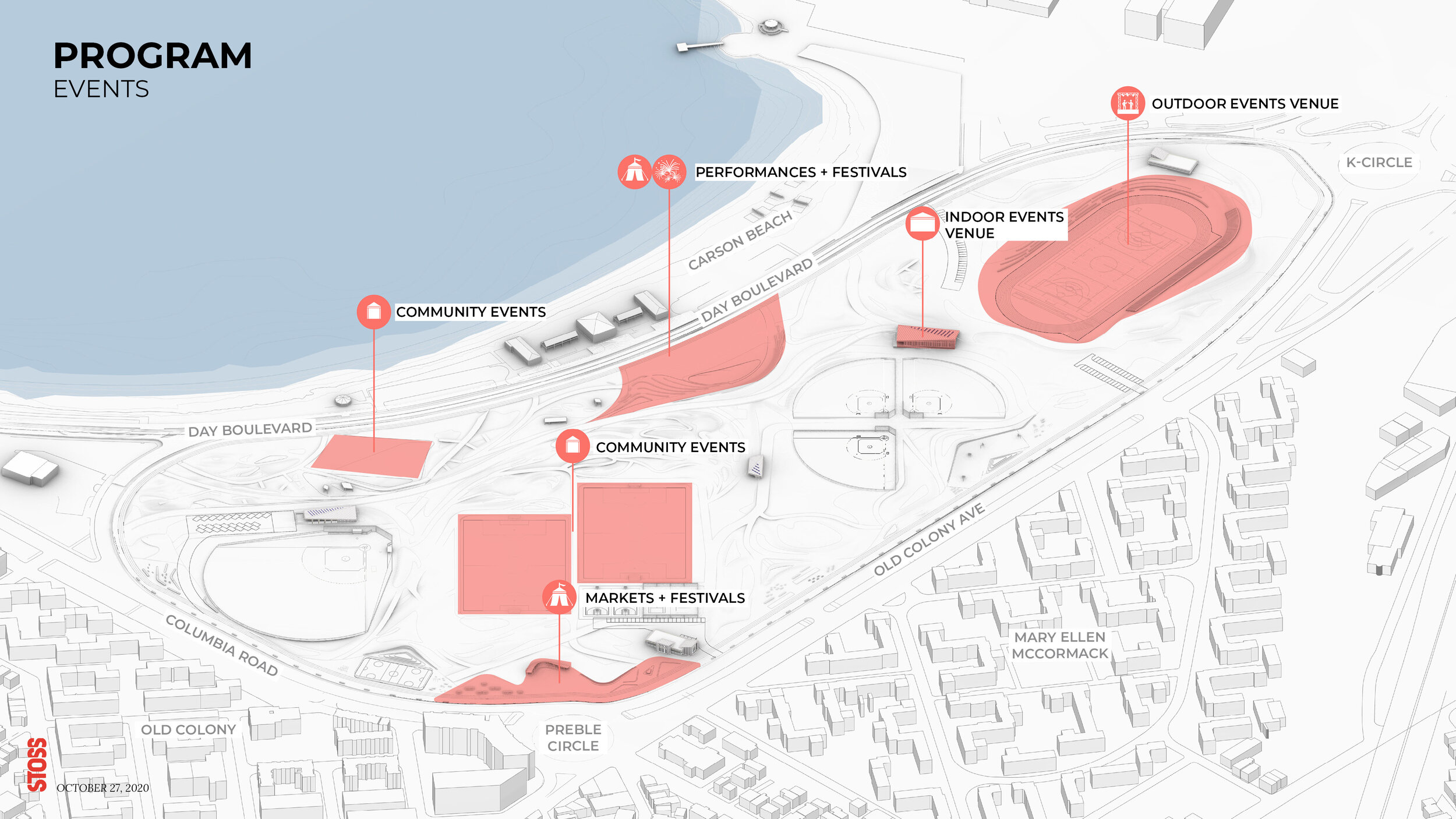
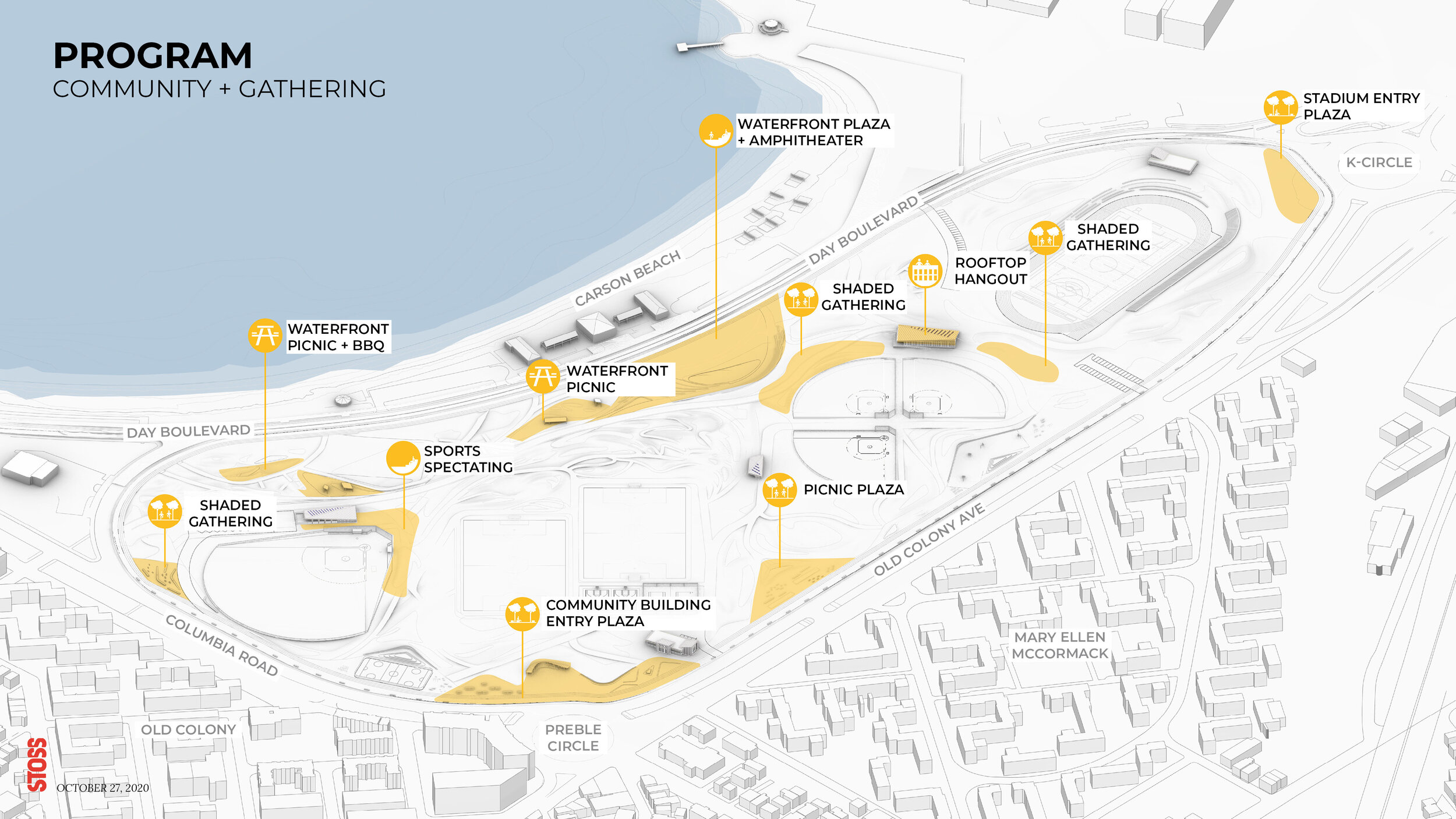
The Preliminary Resiliency Plan proposes solutions for climate adaptation while modernizing existing athletic facilities and enhancing the recreational functions that have been at the heart of the park for decades, layering in new programs to attract and diversify visitors. Stormwater management incorporates innovative green infrastructure strategies across the site, including stormwater meadows, corridors, tree trenches, and porous pavement. The site will see a reduction in urban heat island effect and an increase in biodiversity through the introduction of over 500 new trees and a mix of native plants including, coastal marshes, maritime shrublands, and woodlands communities. The coastal flood management strategy is integrated into the park landscape and provides additional environmental and social benefits. Topography required to prevent coastal flooding also functions to provide connectivity and visual access to the waterfront while creating space for new types of active and passive recreation, play, refuge, and social gathering. The community played an important role in the development of the vision plan and continues to provide critical feedback on desired activities and priorities for the park moving forward. Input has been gathered through online and on-site activities, community open houses, as well as partnership with local and city-wide advocates.
In 2019, the Vision Plan team, along with the City of Boston Parks Department, received a State of Massachusetts MVP grant to complete the Preliminary Resilience Plan which included in-depth technical and engineering analysis to further the design of the park based on the site-specific information. This work has been completed and schematic design for the entire site is currently underway.
Learn morE >
Timeline
2018—ongoing
Status
In-progress
Size
60 acres
client
Boston Parks & Recreation
location
Boston, MA
TEAM
Stoss
Weston Sampson
Nitsch Engineering
ONE Architecture & Urbanism
Woods Hole Group
Simpson Gumpertz & Heger Inc.
HR&A Advisors
Lam Partners
ETM Associates
Davey Tree Expert Company
Howard Stein Hudson
JLP+D
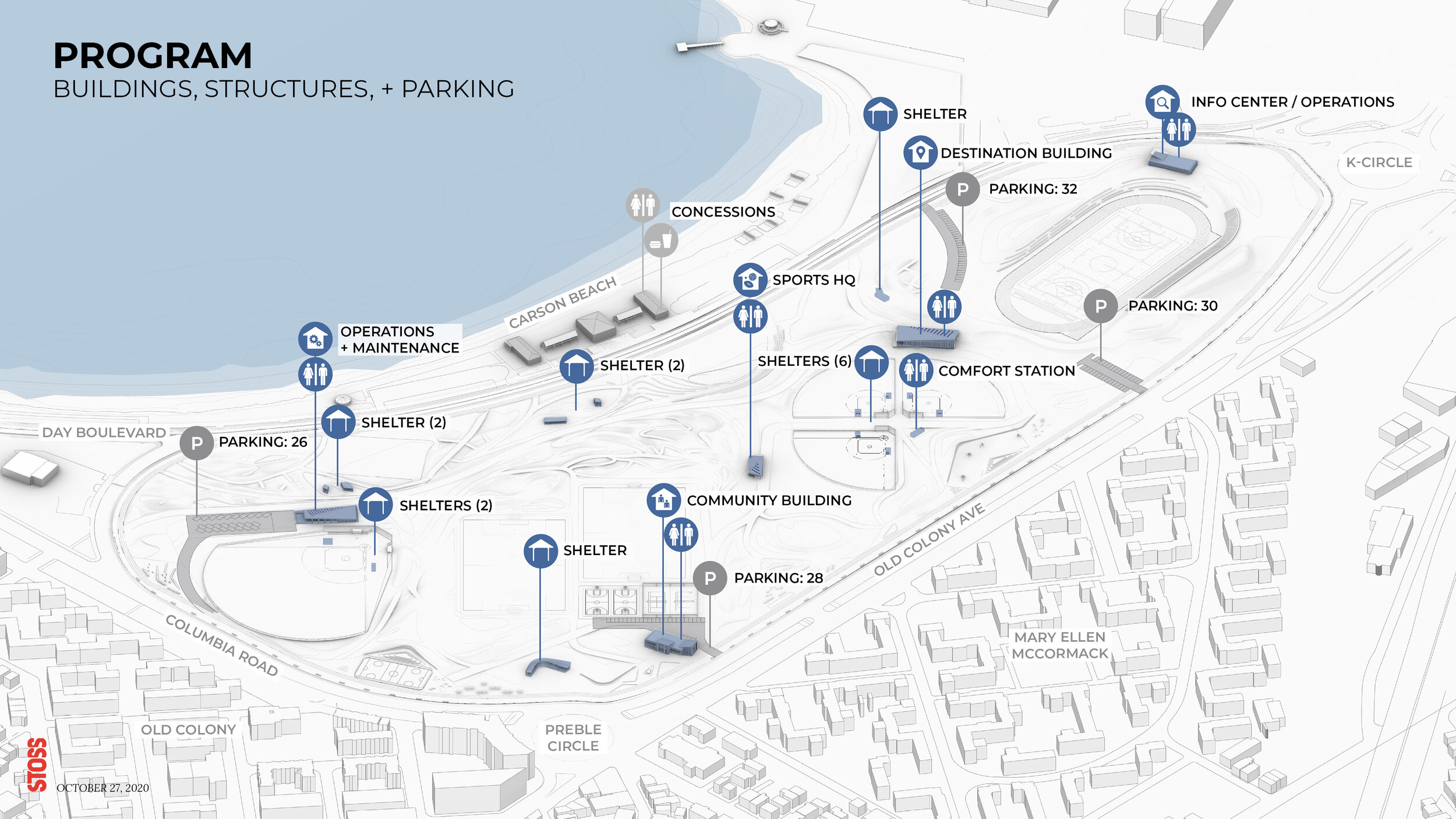
Accessible to a wide range of Boston’s population, the park is served by two train line stops and boasts highway access for visitors from across Boston and the region. The design team conducted in-depth analysis to understand site opportunities and constraints through site visits, local planning documents, flood maps, ownership, existing vegetation surveys, and recreation analysis. In addition, community engagement continues to be the cornerstone of all planning and design efforts.
Learn more about ongoing community engagement and events.
2020 Moakley park plan
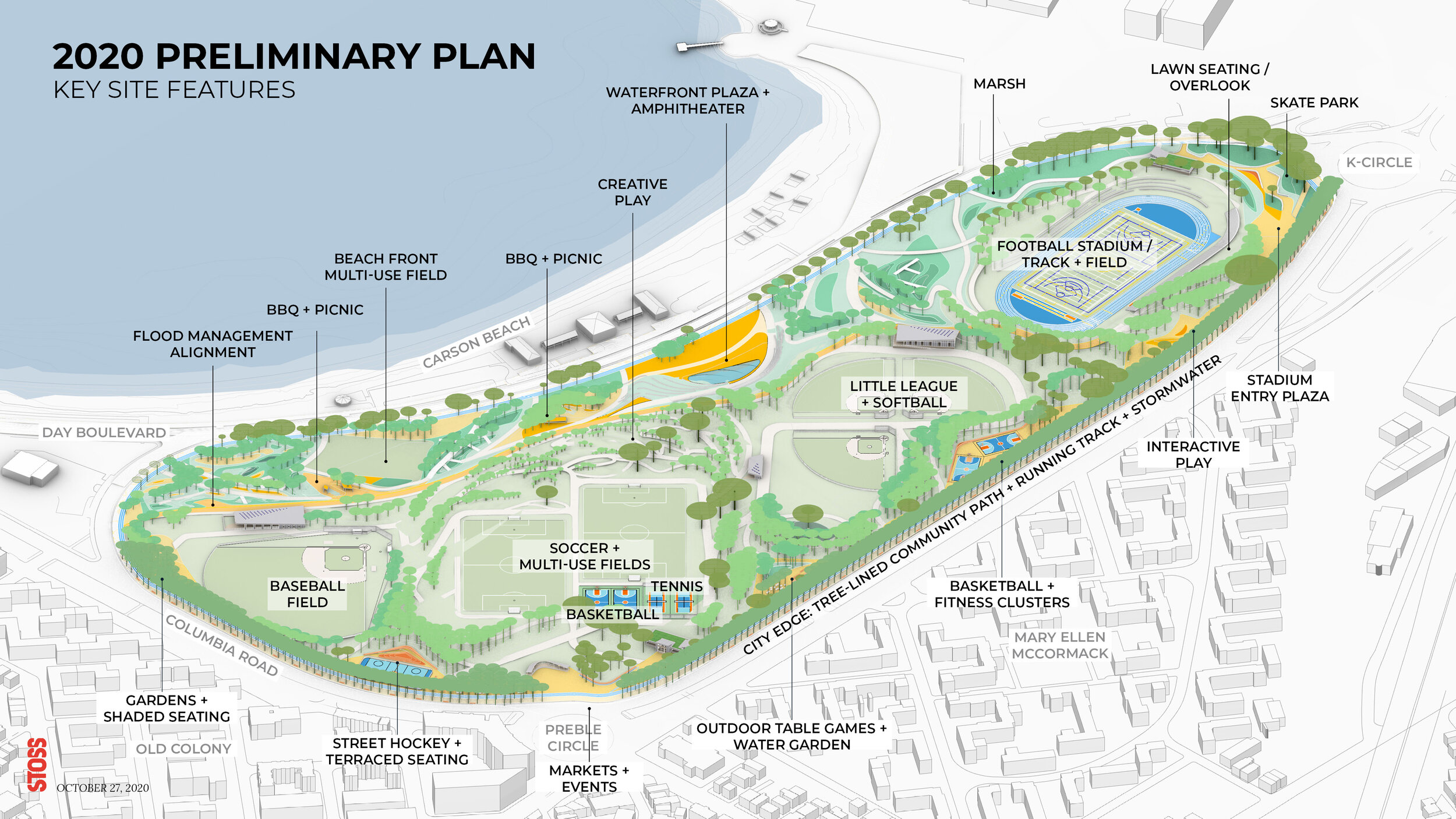
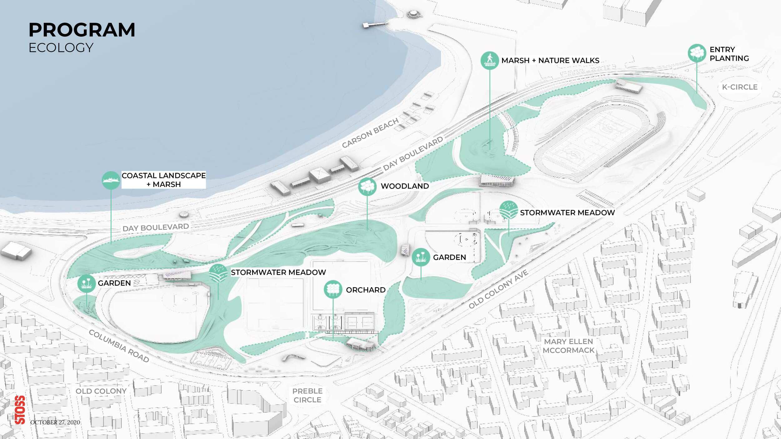
The above section diagram shows the integrated flood protection berm which provides new topography and ample seating. Over 500 new trees will be planted throughout the site along with refurbished coastal marshes and dunes. This resilient landscape not only mitigates storm surge and sea level rise, but also improves biodiversity and provides new opportunities for native flora and fauna to thrive.

